
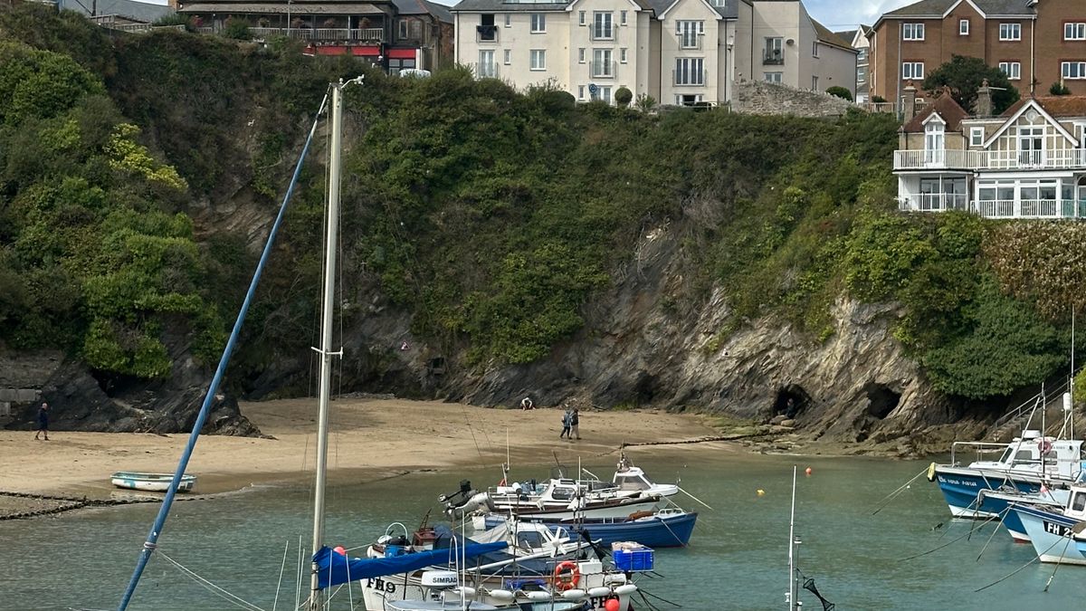
You check the forecast for the nearest mainland town, it says light cloud and 17°C, and you pack accordingly. Then you step off the ferry into horizontal drizzle and a wind that takes your hat with it. Island forecasts need reading differently, because an island has no inland to hide behind. Weather arrives straight off the sea at full strength, with nothing to slow it down.
A 20 mph wind on the mainland means little more than a breezy walk; on a treeless headland it is a different afternoon altogether. Rain shown as scattered showers over a county can pile into a single island hillside. And fog, often dismissed elsewhere as a morning nuisance, can sit on a small island for days when warm air drifts over a cold sea.
Happily, island weather is more readable than people fear — if you look at the right figures, in the right order.
Wind is the most useful figure on the page. It decides whether the ferry sails, whether the cliff path is enjoyable or genuinely risky, and whether you want to be on the east or the west side of the island.
Check the direction as carefully as the speed. A south-westerly usually means a sheltered north or east coast; an easterly flips that entirely. Look at gusts rather than averages too — “15 mph, gusting 35” is a different day out.
Percentages confuse people. A 40% chance of rain does not mean it will rain for 40% of the day; it means that at some point in the period there is a four-in-ten chance of you getting wet. For a day trip, look instead at accumulation in millimetres and at when any rain band is due to arrive.
Fog deserves more respect than it gets. Sea fog is commonest in late spring and early summer, when warm moist air moves over a still-cold sea. It can arrive within an hour and cut visibility from miles to a few hundred metres, which matters enormously on clifftops and coastal paths. Marine forecasts give visibility in nautical miles — moderate is roughly two to five miles, poor is under two. If fog is forecast, choose clear, well-marked paths and carry a compass or a charged phone with an offline map.
The crossing is part of the trip and has its own forecast. Look for the sea state description: slight is comfortable, moderate is bouncy, rough is unpleasant and often means cancellations on smaller routes.
Two things catch people out. First, wind against tide makes a short crossing far choppier than the wind speed alone suggests. Second, it is the return sailing that matters. A calm morning can turn into a rough afternoon, and the last boat of the day is the one you cannot afford to miss. Aim to be back at the pier at least an hour before you need to be, and know exactly when the final sailing leaves.
Forecasts change. A check the night before is useful; a check on the morning itself is essential.
There is no shame in a low-level day. Islands are full of excellent alternatives: a harbour circuit, a small museum, a chippy, a beach sheltered by a headland. Pack a waterproof jacket whatever the forecast says, add a warm layer and a hat, and wear shoes with grip — wet granite and wooden boardwalks are slippery.
Set a rule in advance: if gusts top 30 mph or visibility drops below a mile, the cliff route is off. Then enjoy what the island offers instead. Some of the best days on the coast are the ones where the weather made the decision for you.

Hi, my name is Anthony kuber. I am artist and fashion designer.
I love to travel and writing blogging.
Your email address will not be published. Required fields are marked *
Software Developer & Writer
Hey, I'm Diva, a developer and writer blending code and creativity. I'm driven by a deep curiosity and a relentless pursuit of excellence. Join me as I craft digital solutions and captivating stories.


